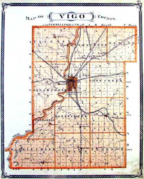
State Line is an unincorporated community in western Sugar Creek Township, Vigo County, in the U.S. state of Indiana.
Named for its proximity to the state border between Indiana and Illinois, it is part of the Terre Haute metropolitan area.
Geography
State Line is located at 39°26′13″N 87°31′46″W at an elevation of 561 feet.
References